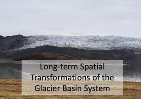
PolarPASS Module 2: Long-term Spatial Transformations of the Glacier Basin System
Module 2 is designed to follow after Module 1. Instructors may choose to use Module 2 independently, but may want to consider some additional introductory materials if they are not beginning with Module 1. Module 2 consists of four units. The units begin by exploring past ice margin retreat and processes of ice margin retreat and elevation change. The material then explores natural climate variability and anthropogenic forcings, and then examines potential future ice margin response to climate change.
Module Goals
Based on specific Driving Questions for each Unit, after completing all 4 Units student will be able to:
- Develop a sense of temporal variation of Greenland glaciers at millennial timescales.
- Describe how glacial history can be reconstructed using proxy data.
- Describe ways in which glacier advance and retreat reshape the bedrock and sediments in regions of recently active ice cover.
- Evaluate the stability of the GrIS based on current rates of retreat .
- Compare how different glacier basin systems respond to a perturbation (natural or man-made).
- Evaluate how the Greenland Ice Sheet future margin depends on the climate scenario path.
- Examine the expected spatial path of Greenland Ice Sheet retreat as it relates to climate, topography, and ice dynamics.

Goals Header
What Students Will Do
- Students use authentic scientific data to explore a Greenland glacier system. Students dive into questions about timescales, decadal to centennial change, and interconnected Earth system elements.
- Students develop a sense of place via interactive environments, field images, maps, geospatial data, and videos.
- Interactive and diverse activities support students in developing stronger inquiry-based learning skills and challenge students to ask and investigate questions about climate, ice, and the landscapes of our planet.
- Students gain geospatial analysis skills through spatial and temporal exercises that utilize Greenland specific datasets in QGIS
Teaching Materials
Description
- Unit 1: Past Ice Margin Retreat: Using videos, maps, reading, and a paleo data exercise, students explore longer timescales of landscape transformation. Activities include working together to interpret authentic proxy data and put their findings into the context of broader Northern Hemisphere change.
- Unit 2: Processes of Ice Margin Retreat and Elevation Change: Students examine the landscape surface to make connections between the features they identify and the ice sheet history of advance and retreat.
- Unit 3: Exploring Natural Climate Variability and Anthropogenic Forcings: This unit addresses questions of natural versus human-induced glacial change, and students test ideas using measurements of change and a simple model.
- Unit 4: Future Ice Margin Response to Climate: Students grapple with the scale of the Greenland Ice Sheet and explore the possible futures for the ice sheet, including considering regional differences in ice sheet change and how ice sheet transformations are connected with the wider Earth system.
Interactive Environments for Module 2
Module 2 Unit 1 - Glacial Landforms: Explore the 'Glacial Landforms' Interactive Environment by following this link

