Antarctic Life & Albedo
In this lesson, students explore the importance of albedo (or reflectivity) to penguins and the surfaces they inhabit and learn how penguin colonies may be mapped using satellites.
Context for Use
This is the third lesson of a five-part curriculum about Antarctic physical environments and ecosystems.

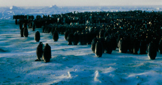
Closeup of Emperor penguin colony in winter mtp@mtpa.org.uk via Wikipedia
Goals Header
What Students Will Do
- Describe and demonstrate how satellite observations, field observations, and simple linear models can be used to track Antarctic penguin populations.
- Explain the concept of albedo and how this impacts energy absorption and reflection.
Teaching Materials
Description
Part 1 – (5 min) Brainstorm
Students brainstorm ways in which penguins might impact their physical environment.
Part 2 – (10 minutes) Physical Basis
Students learn what albedo is and why it is important.
Part 3 – (5 minutes) Science of mapping penguins from space
Students learn the relationship between guano-stained areas and penguin colony size.
Part 4 – (25 minutes) Satellite Imagery Exercise
Using satellite imagery, students measure the area of penguin colonies (and also explore their albedo).
Part 5 - (15 minutes) Group reporting and plotting penguin colony size versus time
Students/groups will report back colony areas and penguin counts will be estimated and plotted versus time, along with uncertainty in the estimates.


