Earth's polar environments have undergone rapid change during the 21st century and scientists have generated important new data and made groundbreaking insights. Despite growing interest in bringing polar-focused material into the undergraduate classroom, curriculum development has lagged. Polar Space and Places, or PolarPASS, is connecting polar-focused material with innovative teaching methods to advance STEM undergraduate education and increase polar knowledge
Context for Use
Using real data, diverse material types, and a range of activities, PolarPASS modules are designed to bring polar science and exploration to the classroom. PolarPASS modules link to Climate Literacy Principles and Polar Literacy Principles and are being tested in teaching models that include semester, quarter, and block teaching models.
PolarPASS is developed by a team of educators and scientists at Western Washington University, the University of Montana Western, and the National Snow and Ice Data Center and Cooperative Institute for Research in Environmental Sciences at the University of Colorado Boulder. During the initial development of PolarPASS materials, the team is testing the efficacy of different teaching activities in developing students' sense of place.
The PolarPASS team is excited to address your questions and hear about your experience using PolarPASS material. Please reach out to us at polarpass@colorado.edu.

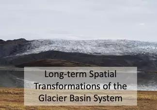
A picture of Long-term Spatial Transformations of the Glacier Basin System from PolarPASS.
Goals Header
What Students Will Do
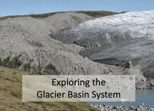
- Students use authentic scientific data to explore a Greenland glacier system. Students dive into questions about timescales, seasonal and year-to-year change, and interconnected Earth system element
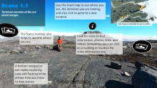
- Students develop a sense of place via interactive environments, field images, maps, geospatial data, and videos
- Interactive and diverse activities support students in developing stronger inquiry-based learning skills and challenge students to ask and investigate questions about climate, ice, and the landscapes of our planet
- Students gain geospatial analysis skills through spatial and temporal exercises that utilize Greenland specific datasets in QGIS


