QGreenland
A Free GIS Package for Greenland
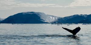
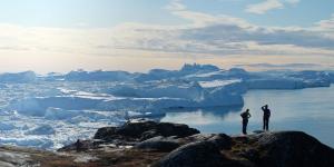
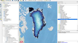
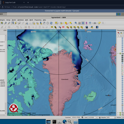
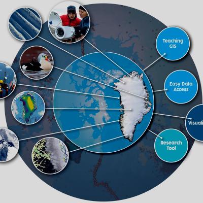
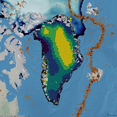
QGreenland is a free mapping tool to support interdisciplinary Greenland-focused research, teaching, decision making, and collaboration. More specifically, QGreenland is a full geospatial data package that runs on the free and open source QGIS software. With QGreenland, anyone can explore a wide variety of Greenland-focused geospatial data in their office, lab, classroom, or even in the field.
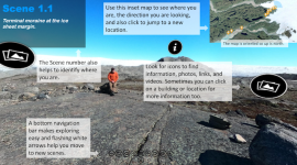
QGreenland is used in high school to graduate classrooms and within curriculum that focuses on a wide range of topics, including GIS skills, polar climate, data skills, hydrology and physical sciences, and more. QGreenland also has a wide range of research and decision-making applications, including planning field work, synthesizing and analyzing data, and creating data and map visuals and figures. Resources here can help you work with QGreenland, too.
QGreenland development began in 2019 and is led by the National Snow and Ice Data Center, within the University of Colorado Boulder Cooperative Institute for Research in Environmental Sciences. QGreenland is funded by the National Science Foundation and benefits from the generous efforts of a wide range of collaborators.
If you have any questions, please email QGreenland.info@gmail.com.