From Greenland to our Coasts: Exploring Sea Level Change with QGreenland
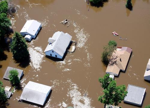
An understanding of Arctic regions, which are warming faster than the rest of the world, is crucial for understanding the global climate system. Greenland with its large ice sheet is of particular global importance and vulnerable to a changing climate, but the scale of the landforms can be difficult to grasp. Geographic Information Systems (GIS) can help students visualize and engage with Greenland data to answer questions about its influence on global climate systems in a concrete way. In this unit, students will explore how the Greenland Ice Sheet is changing and why that affects coastal communities worldwide. Students will read about the effects of sea level change on two different Alaskan communities and recognize the difference between regional and global average sea change. Students then choose a coastal community and create a flood map in QGIS, highlighting the risks of sea level rise to infrastructure, community, economics, housing, and freshwater supply.
QGreenland is a free data environment that provides Greenland-focused data for use with the free, open-source QGIS software, and is supported by comprehensive tutorials and how-tos.
Context for Use
This lesson uses QGIS to visualize and engage with QGreenland data to answer questions about Greenland’s influence on global climate systems. Students will explore how sea level change has different effects around the world and will evaluate the risks associated with sea level rise by creating a map of flood risk areas. This lesson spans two 60-minute class periods (or two hours) and is best suited for upper high school- or introductory undergraduate-level classes.
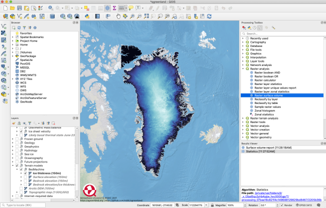
QGreenland GIS screen capture




Goals Header
Learning Goals and Outcomes
Students will...
- Explore how sea level change has different effects around the world.
- Evaluate the risks associated with sea level rise by creating a flood map.